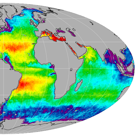
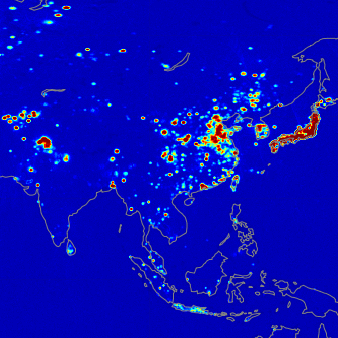
SMAP provides a capability for global mapping of soil moisture and freeze/thaw state with unprecedented accuracy, resolution, and coverage. SMAP science objectives are to acquire space-based hydrosphere state measurements over a three-year period to understand processes that link the terrestrial water, energy and carbon cycles; estimate global water and energy fluxes at the land surface; quantify net carbon flux in boreal landscapes; enhance weather and climate forecast skill and develop improved flood prediction and drought monitoring capabilities.

