

- HOME
- SCIENCE
- HIGHLIGHTS
- DATA & MAPS
- DATA FOR YOU
- MEETINGS
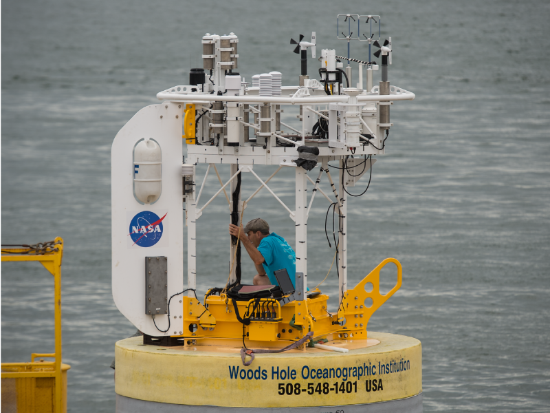
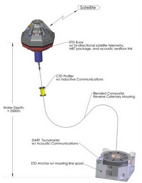
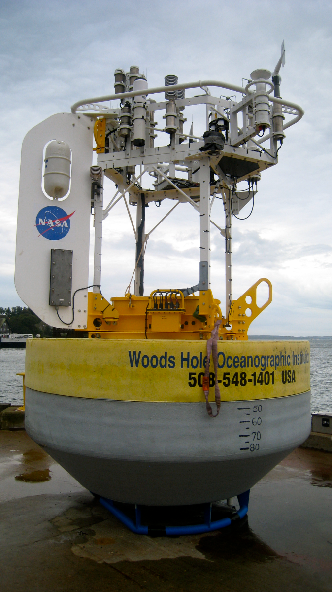
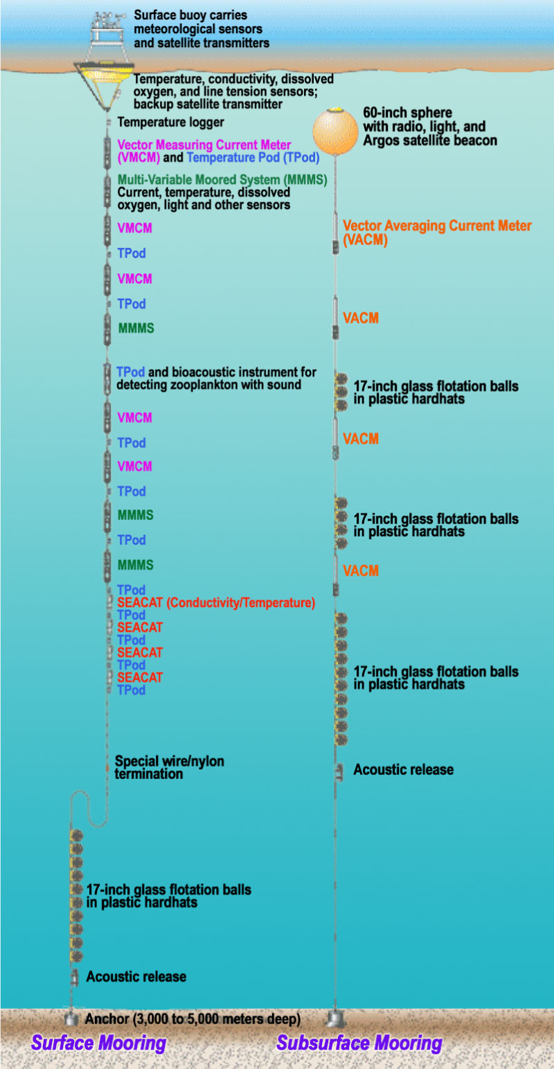
Moorings are stationary platforms that carry multiple instruments for collection of data above and below the ocean surface. One of the major goals of SPURS was to deploy an array of three oceanographic moorings; a single Woods Hole Oceanographic Institution (WHOI) surface flux mooring and two Pacific Marine Environmental Laboratory (PMEL) Prawler moorings. These moorings were deployed for about a year, to collect information on the central part of the study area.
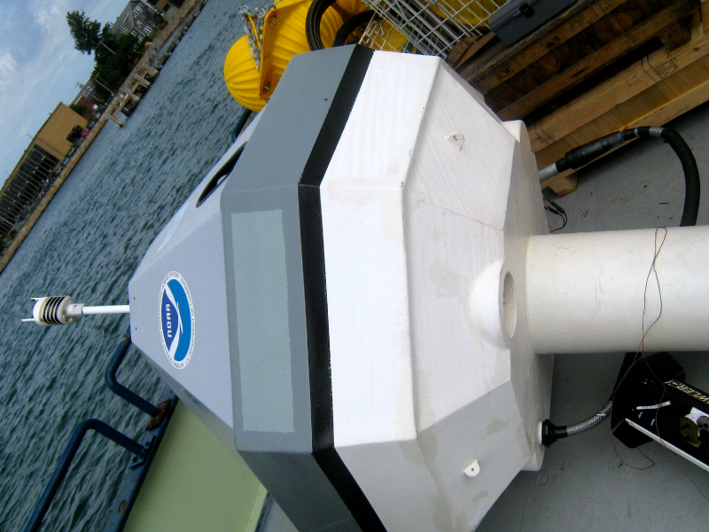
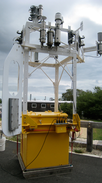
Each mooring was made up of two parts: a surface buoy and a subsurface mooring wire. The surface buoy measured meteorological parameters like wind speed, solar radiation, and humidity, to assess how the ocean interacts with the atmosphere. Multiple instruments were also attached to the subsurface mooring wire for collection of data throughout the water column. Visit WHOI for videos and interactive multimedia on moorings and buoys.

👋 Hello, Explorer!
I'm the NASA Salinity Assistant. Ask me anything about ocean salinity, missions, and data!
👋 Welcome to NASA Salinity AI Assistant!
I know everything about this website — missions, data, science, publications and more. What would you like to know?
Powered by · NASA Salinity