- HOME
- SCIENCE
- HIGHLIGHTS
- DATA & MAPS
- DATA FOR YOU
- MEETINGS
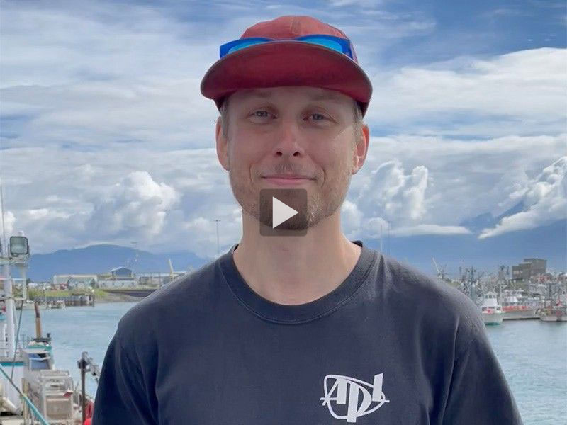
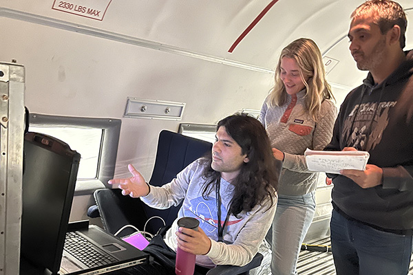
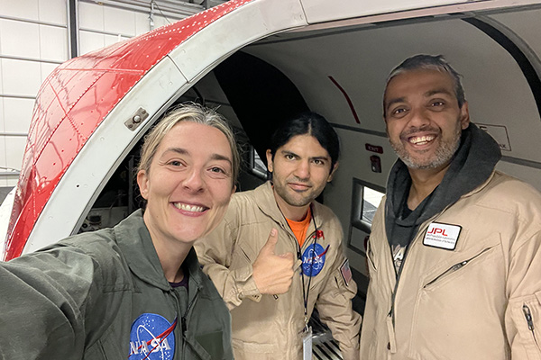
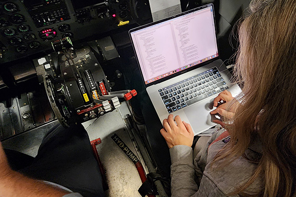
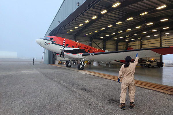
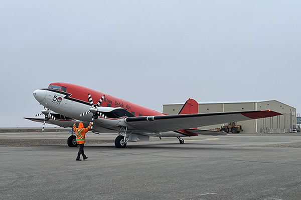
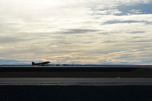
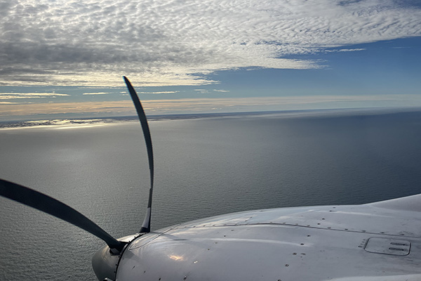
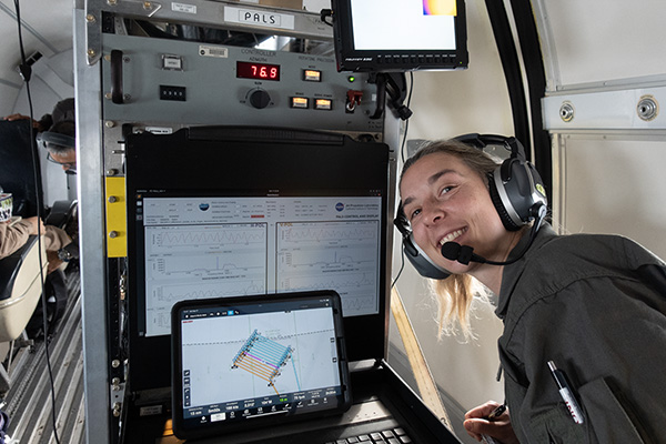
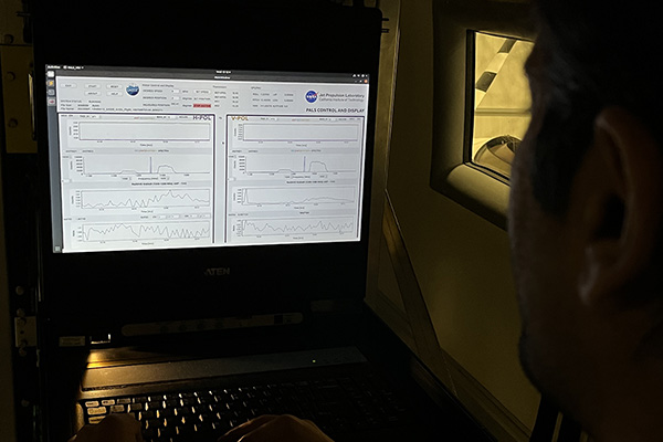
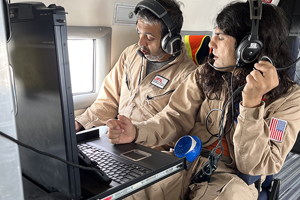
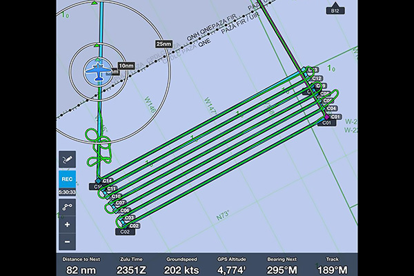
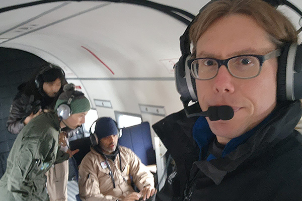
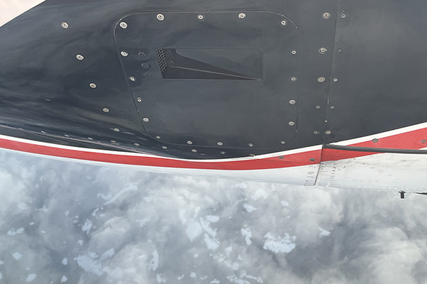
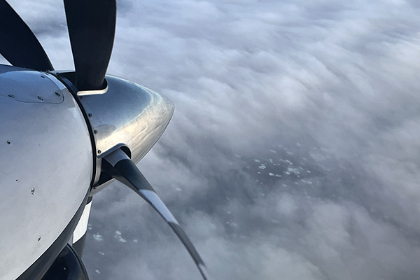
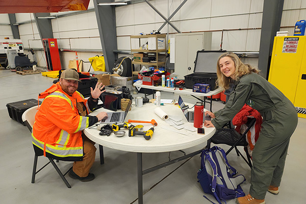
Studying the seasonal evolution of sea ice goes beyond in-water measurements. That's why an airborne campaign is a major component of SASSIE. The folks planning and carrying out this work are accustomed to the sunny climate of southern California. During this expedition, however, they've become real sky watchers... waiting for the clouds to lift so they can collect sea surface salinity data with the Passive Active L- and S-band System (PALS), an airplane-mounted instrument. Each day, they create science survey plans after analyzing the latest satellite sea-ice data, weather forecasts, and in-water measurements provided by scientists onboard the R/V Woldstad and other assets (e.g., Wave Gliders). The result? Lots of data taken during airborne surveys, including flights over open ocean and closer to the sea ice edge. Check out how PALS is calibrated: Video 1 | Video 2.


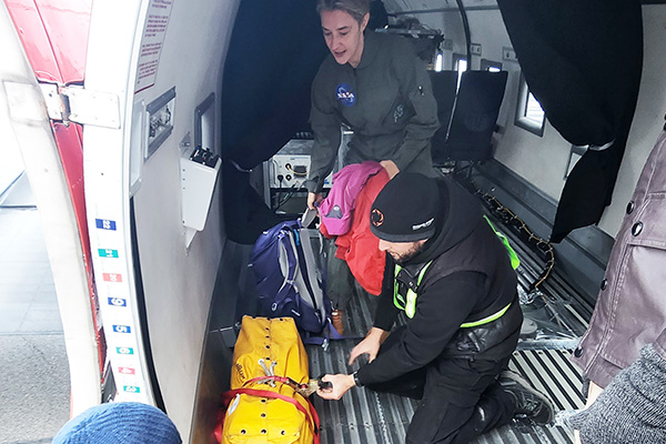
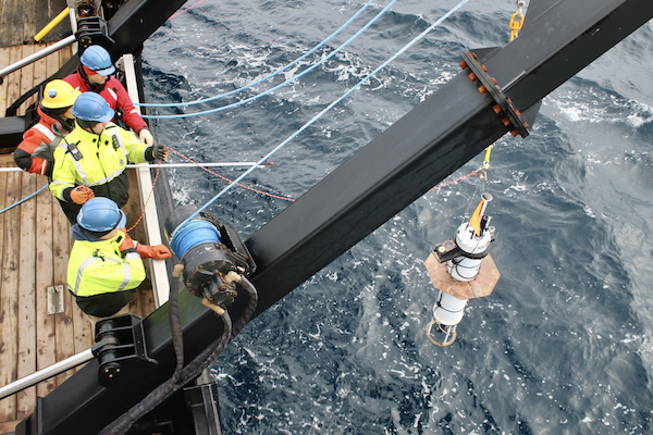
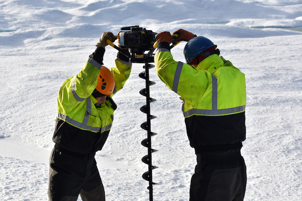
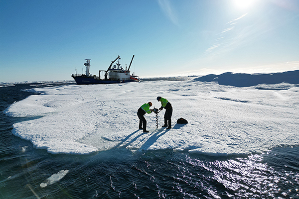
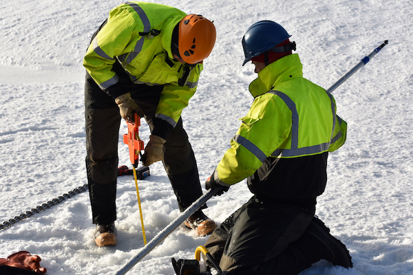
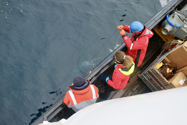
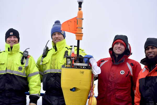
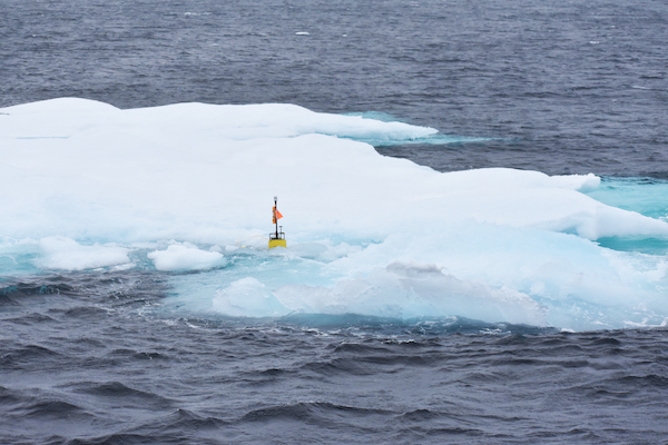
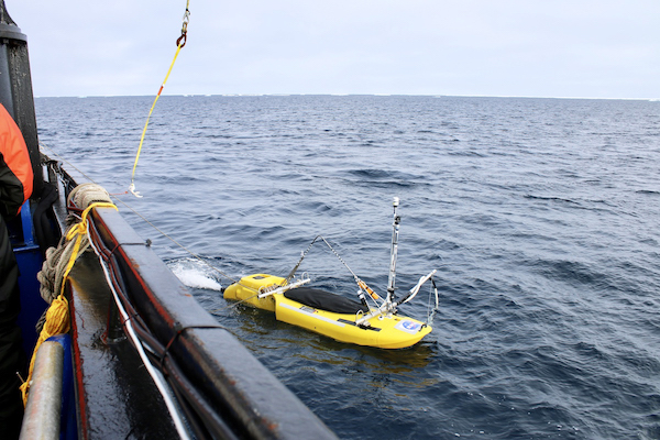
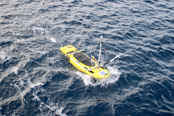
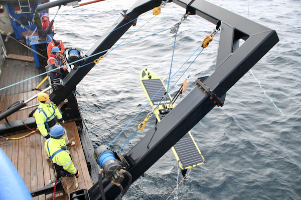
Despite issues large (Typhoon Merbok) and small (spotty internet), SASSIE has been collecting a lot of data using a lot of cutting-edge instruments. The "coolest name" award goes to the Salinity Snake, a ship-mounted instrument that measures conditions within the top inch of the ocean surface. After being deployed on 10-Sep, the Under Ice Float drifted eastward, observing ice floes from below. Just before typhoon-driven wind and waves arrived, the team deployed a Ice Mass Balance Buoy that monitors how snow depth and ice thickness change over time. SWIFT Drifters have been deployed and retrieved (get out the grappling hook!). They measure ocean temperature, salinity, and wave properties; not only that, they collect atmospheric data. The Jet Surface Salinity Profiler – a jet-powered kayak – collects salinity and temperature data in the top meter of the ocean. Its high maneuverability makes it a perfect complement to other SASSIE instruments. Learn more about SASSIE Tools.
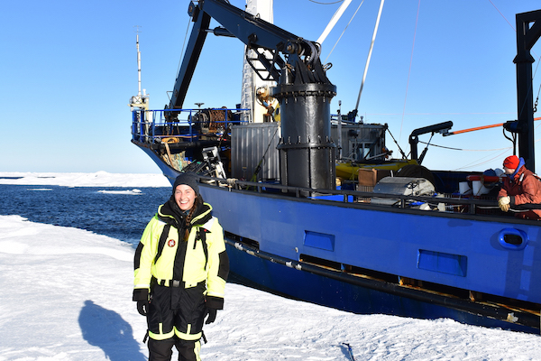
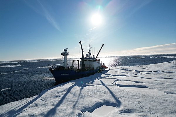

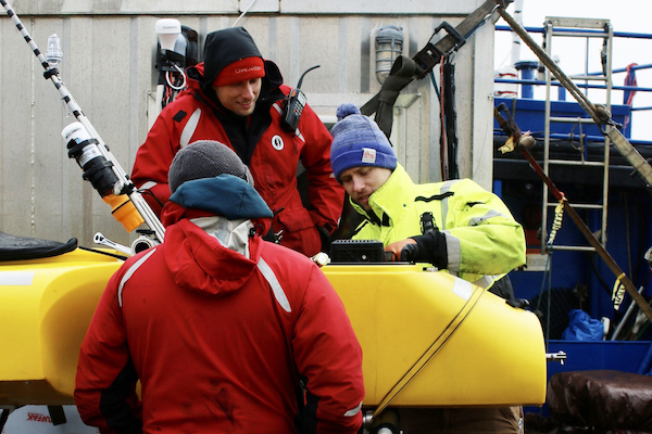
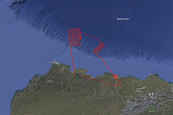
While steaming north for a couple of days, the SASSIE team installed instruments and got everything "ship shape" before arriving at their first deployment site, a box bounded by 72-73°N and 155-150°W. This is south of the tongue of old ice that has remained in the Beaufort Sea this summer. In addition, this box is north of the region where the Wave Gliders have been showing strong salinity signals.
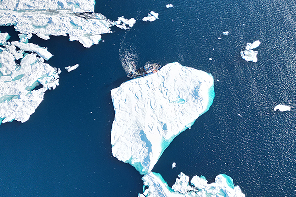
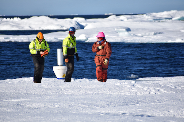
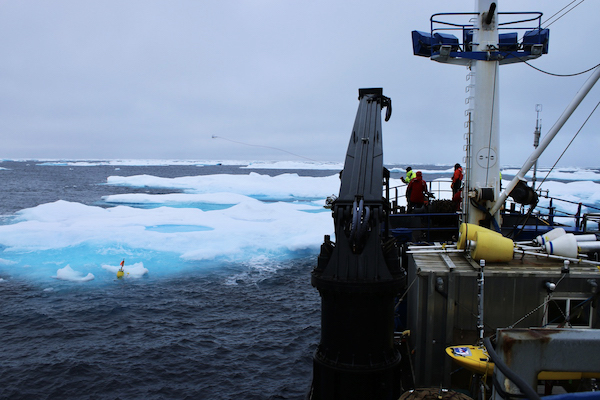
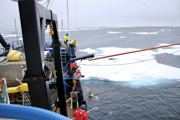
Upon reaching the sea ice edge on 08-September, they released some floats and drifters. They then headed north into relatively heavy ice, deploying a line of instruments that will collect north-south transects. Even though the weather (and sea) were a bit rough for the first few days of the cruise, the airborne campaign began on 11-September, collecting data above the deployment site... SASSIE from sea to sky!
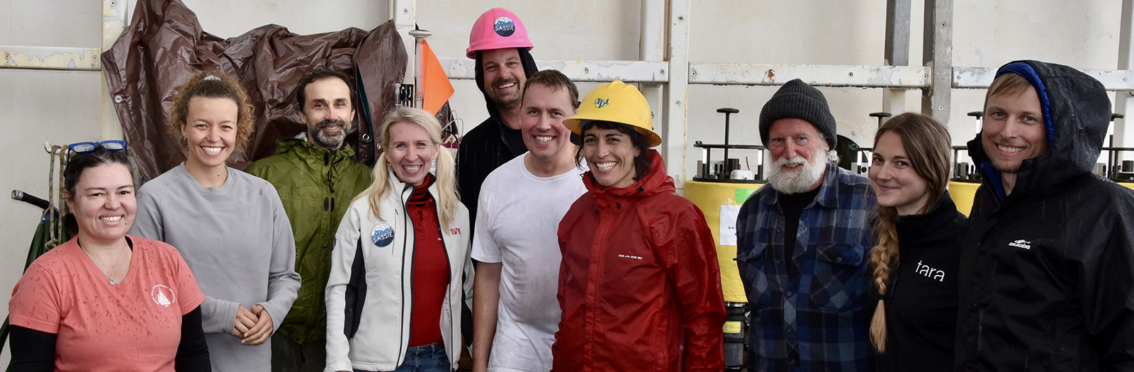
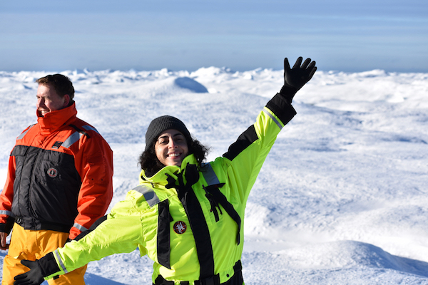
SASSIE Team before the R/V Woldstad left port on 05-Sep-22.
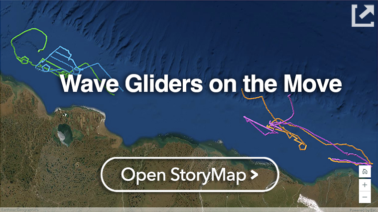
Field operations for SASSIE have begun! Four Wave Gliders were shipped in early July 2022 and deployed near Prudhoe Bay from the R/V Ukpik on 12-14 August 2022. Where to deploy these instruments was an important early decision by the SASSIE team. Many factors were considered such as the concentration and age of the ice pack – the latter of which is strongly correlated with ice thickness – and likely direction of ice drift in the upcoming days to weeks. The eventual goal is for all four gliders to be grouped together to meet the larger vessel, R/V Woldstad, when it arrives in September.
At the Edge: Between Melting Summer Sea Ice and Autumn Sea Ice Formation (Liquid Robotics)
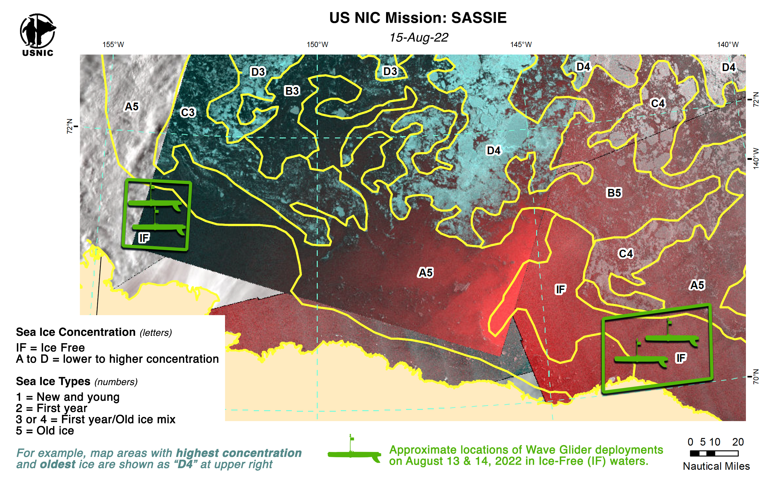
LEFT: Four Wave Gliders were successfully deployed by the SASSIE team near Prudhoe Bay. (Photo credit: Jim Thomson, APL-UW). RIGHT: Sea ice status around the time of Wave Glider deployment from the US National Ice Center (NIC). Yellow lines indicate areas of sea ice with letters and numbers denoting concentration and type, respectively. The color-coded background image is based on data from the Canadian Space Agency’s RADARSAT-2 and NASA’s Moderate Resolution Imaging Spectrometer (MODIS) instruments.
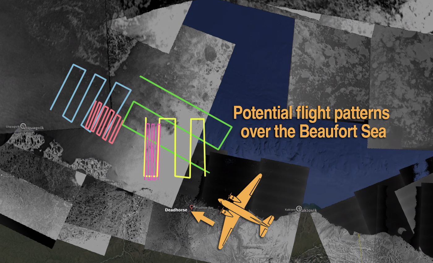
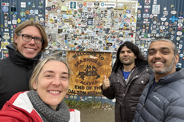
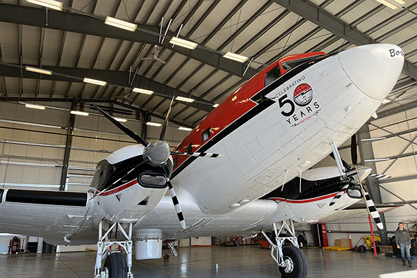
SASSIE isn't just counting on in-water instruments, there will also be important data collected from the (likely cloudy) Arctic skies. An important tool in this effort is the Airborne & Passive Active L- and S-band System – better known as "PALS" – which has been mounted on a DC-3 aircraft. Stationed in Deadhorse (AK), PALS measures sea surface salinity and temperature along with ocean wind speed. Its first flight was on the 11th of September, surveying over the Beaufort Sea, then made its way back to Deadhorse. In coming days, will they fly a "lawnmower" pattern at high altitude to get large-scale context? Will they conduct a low-altitude survey around the location of the R/V Woldstad? These are the types of "on the fly" decisions to be made by members of the SASSIE team at sea, on land, and in the air. Check out the folks behind the SASSIE Airborne Campaign.