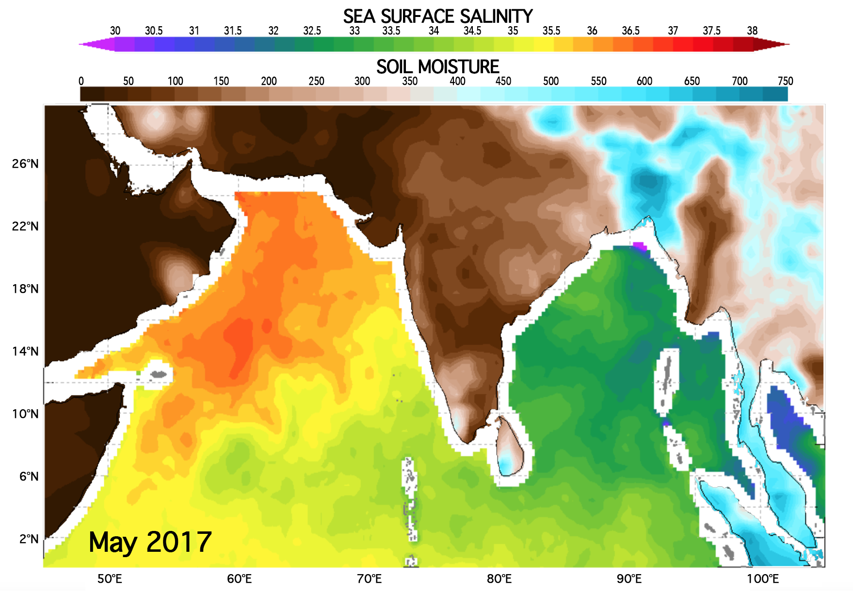
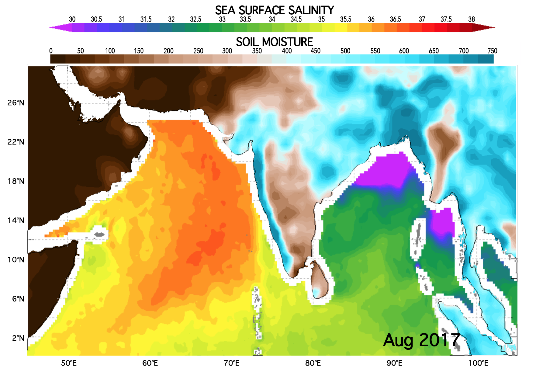
Version 3 (V3) SMAP Sea Surface Salinity (SSS) data are available from Remote Sensing Systems (RSS) at spatial resolutions of 40km and 70km.
Datasets comprising this release include 40 km and 70 km resolution products at level 2C and 3. L3 mapped salinity products consist of an 8-day running mean product based on the repeat orbit of the SMAP mission, along with a monthly average product. All products are in the netCDF4 file format and are CF/ACDD metadata standards compliant.
As is the case for the 40-km resolution product, the 70-km product is resampled onto a 0.25° fixed Earth grid using a Backus-Gilbert type optimum interpolation (OI). In the case of the 70-km product, the target cell of the OI is a circular footprint with a diameter of 70 km. Compared to the 40-km product, the 70-km is spatially smoother and the random noise is reduced by 60%. For most oceanographic applications, it is recommended that the new 70-km product be used.
Users should note that significant degradation in the performance is observed if the gain weighted land fraction (gland) exceeds 1%. Consequently, observations with gland>0.8% are not used in the Level 3 processing.
The SMAP-SSS V3 70km data sets are described and discoverable via the PO.DAAC data portal. The data are also accessible via a range of PO.DAAC tools and services: OPeNDAP, THREDDS, PODAAC-WS and LAS.
The SMAP Algorithm Theoreotical Basis Document (ATBD), validation analysis and file specification document together with other primary technical documentation, are available from PO.DAAC's SMAP website. General information regarding the SMAP mission is available from the mission website and also via PO.DAAC's SMAP and salinity webpages.
View V3 SMAP Maps

| Updates and Improvements from V2.0 |
|---|
| Use of Version 4 L1B SMAP RFI filtered antenna temperatures (Piepmeier et al., 2018). |
Use of the GMF from Aquarius Version 5 Release adapted to SMAP (Meissner et al., 2017, 2018).
|
| Use of CCMP near real time wind speed and direction as ancillary input. |
| Inclusion of IMERG rain rate. This is used in the atmospheric liquid cloud water correction and for rain flagging. |
| Improved computation of antenna weighted land fraction gland. |
| Improved correction for intrusion of land radiation from antenna sidelobes. |
Emissive SMAP antenna:
|
| An error in the computation of the gain-weighted sea ice fraction gice during 2017 and 2018 in V2.0 has been corrected. |
| Antenna Pattern Correction (APC): The spillover, or equivalently the matrix element AII in the APC matrix, was decreased from 1.1080 (V2.0) to 1.0929 (V3). |
| The Level 2C (quality control) flags have been updated. |
| The salty biases at low latitudes and the fresh biases at high N latitudes that were observed in the previous release, have disappeared have been significantly reduced in V3.0. |
Liebe, H., Rosenkranz, P., and Hufford, G. (1992). Atmospheric 60-GHz Oxygen Spectrum: New Laboratory Measuremenments and Line Parameters, J. Quant. Spectrosc. Radiat. Transfer, 48, 629–643, doi: 10.1016/0022-4073(92)90127-P.
Meissner, T., Wentz, F., and Ricciardulli, L. (2014). The Emission and Scattering of L-band Microwave Radiation from Rough Ocean Surfaces and Wind Speed Measurements from Aquarius, J. Geophys. Res. Oceans, 119, doi: 10.1002/2014JC009837.
Meissner, T., Wentz F., and Le Vine, D.M. (2017). Aquarius Salinity Retrieval Algorithm Theoretical Basis Document (ATBD), End of Mission Version; RSS Technical Report 120117; 1 December 2017.
Meissner, T., Wentz, F.J., and Le Vine, D.M. (2018). The Salinity Retrieval Algorithms for the NASA Aquarius Version 5 and SMAP Version 3 Releases, Remote Sensing 10, 1121, doi:10.3390/rs10071121.
Piepmeier, J.R., Mohammed, P., Peng, J., Kim, E.J., De Amici, G., Chaubell, M.J., and Ruf, C. (2018). SMAP L1B Radiometer Half-Orbit Time-Ordered Brightness Temperatures, Version 4. [RFI filtered antenna temperatures]. Boulder, Colorado USA. NASA National Snow and Ice Data Center Distributed Active Archive Center, doi: 10.5067/VA6W2M0JTK2N.
SMAP V2 Release